Back to the list of the gauging stations
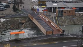
Gauging station GADER BEI MONTAL
Measured data from 16/11/2025 12:20
- Station altitude: 813,27 m a.s.l.
- Water level: 107 cm
- Flow rate: 5.6 m³/s
- Water temperature: 6 °C
- Betreiber: Amt für Hydrologie und Stauanlagen
Values of the last 7 days (09/11/2025 - 16/11/2025)
Flow
Water temperature
Suspended-sediment concentration
Additional information about the gauging station
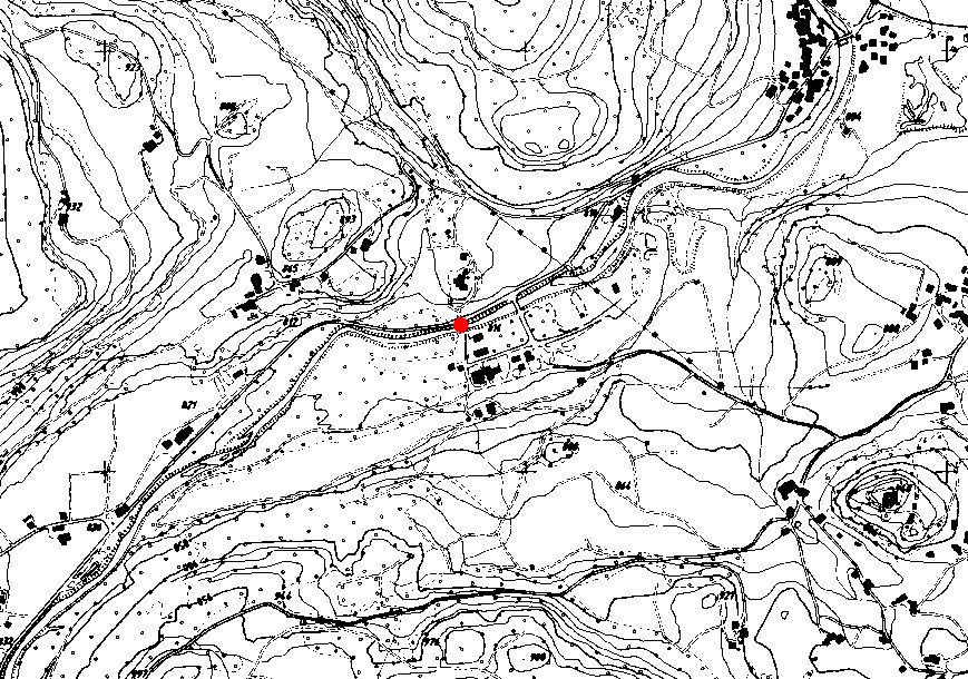
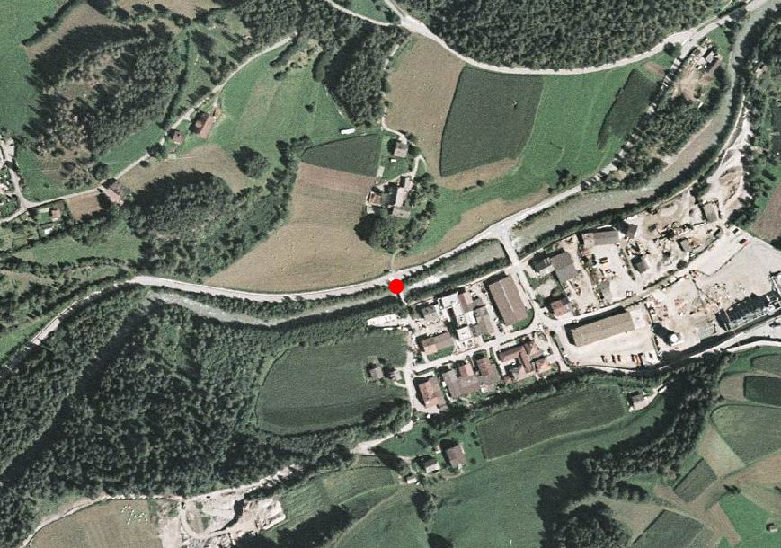
Site
Technical data
- Station code: 64550PG
- Type of station: Hydro
- Cartographic coordinates: UTM WGS84 719836 m / 5184311 m
- Latitude / Longitude: 46.77610 ° / 11.87967 °
Google Maps