Back to the list of the gauging stations
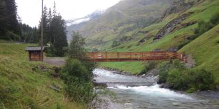
Gauging station PFELDERERBACH BEI ESCHBAUM
Measured data from 15/07/2025 21:30
- Station altitude: 1569,26 m a.s.l.
- Water level: 49 cm
- Flow rate: 2.0 m³/s
- Water temperature: 10 °C
- Betreiber: Amt für Hydrologie und Stauanlagen
Values of the last 7 days (08/07/2025 - 15/07/2025)
Flow
Water temperature
Additional information about the gauging station
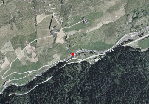
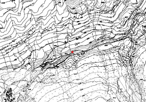
Site
Technical data
- Station code: 20750PG
- Type of station: Hydro
- Cartographic coordinates: UTM WGS84 660449 m / 5185247 m
- Latitude / Longitude: 46.80145 ° / 11.10271 °
Google Maps