Back to the list of the gauging stations
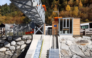
Gauging station SULDENBACH - STILFSERBRÜCKE
Measured data from 09/01/2026 09:40
- Station altitude: 1120 m a.s.l.
- Water level: 86 cm
- Flow rate: 0.6 m³/s
- Water temperature: 2 °C
- Betreiber: Amt für Hydrologie und Stauanlagen
Values of the last 7 days (02/01/2026 - 09/01/2026)
Flow
Water temperature
Suspended-sediment concentration
Additional information about the gauging station
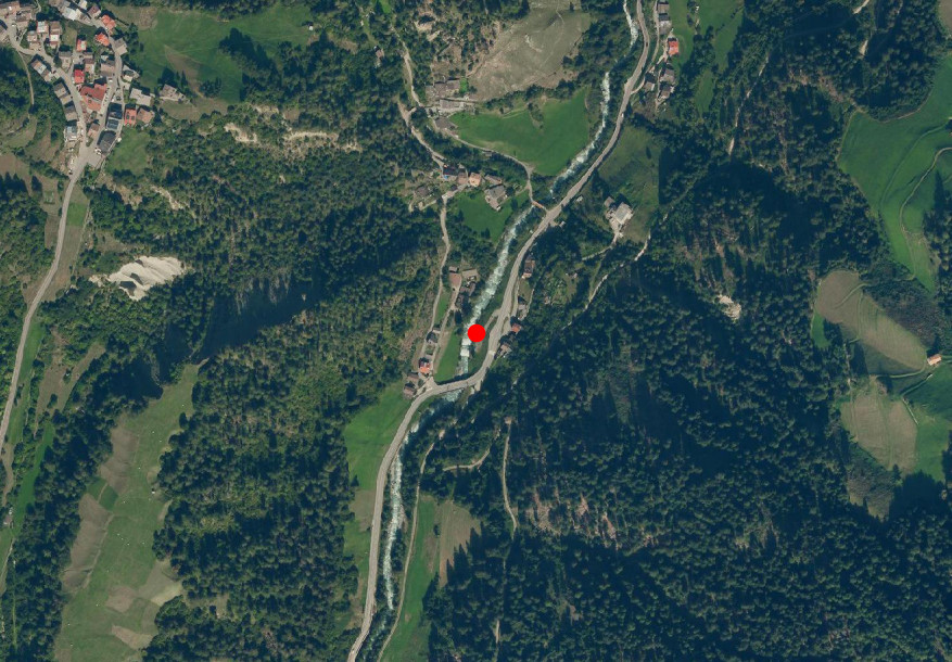
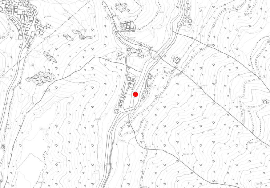
Site
Technical data
- Station code: 07770PG
- Type of station: Hydro
- Cartographic coordinates: UTM WGS84 618778 m / 5161103 m
- Latitude / Longitude: 46.59298 ° / 10.55062 °
Google Maps