Back to the list of the gauging stations
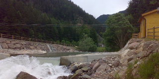
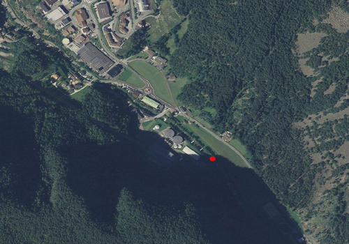
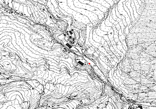
Gauging station GRÖDNERBACH BEI PONTIVES
Measured data from 12/01/2026 06:20
- Station altitude: 1110,03 m a.s.l.
- Water level: 25 cm
- Flow rate: 1.7 m³/s
- Water temperature: -0 °C
- Betreiber: Amt für Hydrologie und Stauanlagen
Values of the last 7 days (05/01/2026 - 12/01/2026)
Flow
Water temperature
Additional information about the gauging station
Site
Technical data
- Station code: 73950PG
- Type of station: Hydro
- Cartographic coordinates: UTM WGS84 701972 m / 5162170 m
- Latitude / Longitude: 46.58271 ° / 11.63623 °
Google Maps